Aerial Mapping Services
Detailed Site Analysis
The 2D orthophoto below was produced by stitching together over 900 - 20 MP aerial images of an area of approx. 68 acres. The image you see below is a stunning 54,440 x 46,742 pixel georeferenced orthophoto. With a resolution of less than one inch per pixel, this image file is a whopping 5.24 GB tiff file. The result produces a stunning amount of detail, see for yourself!
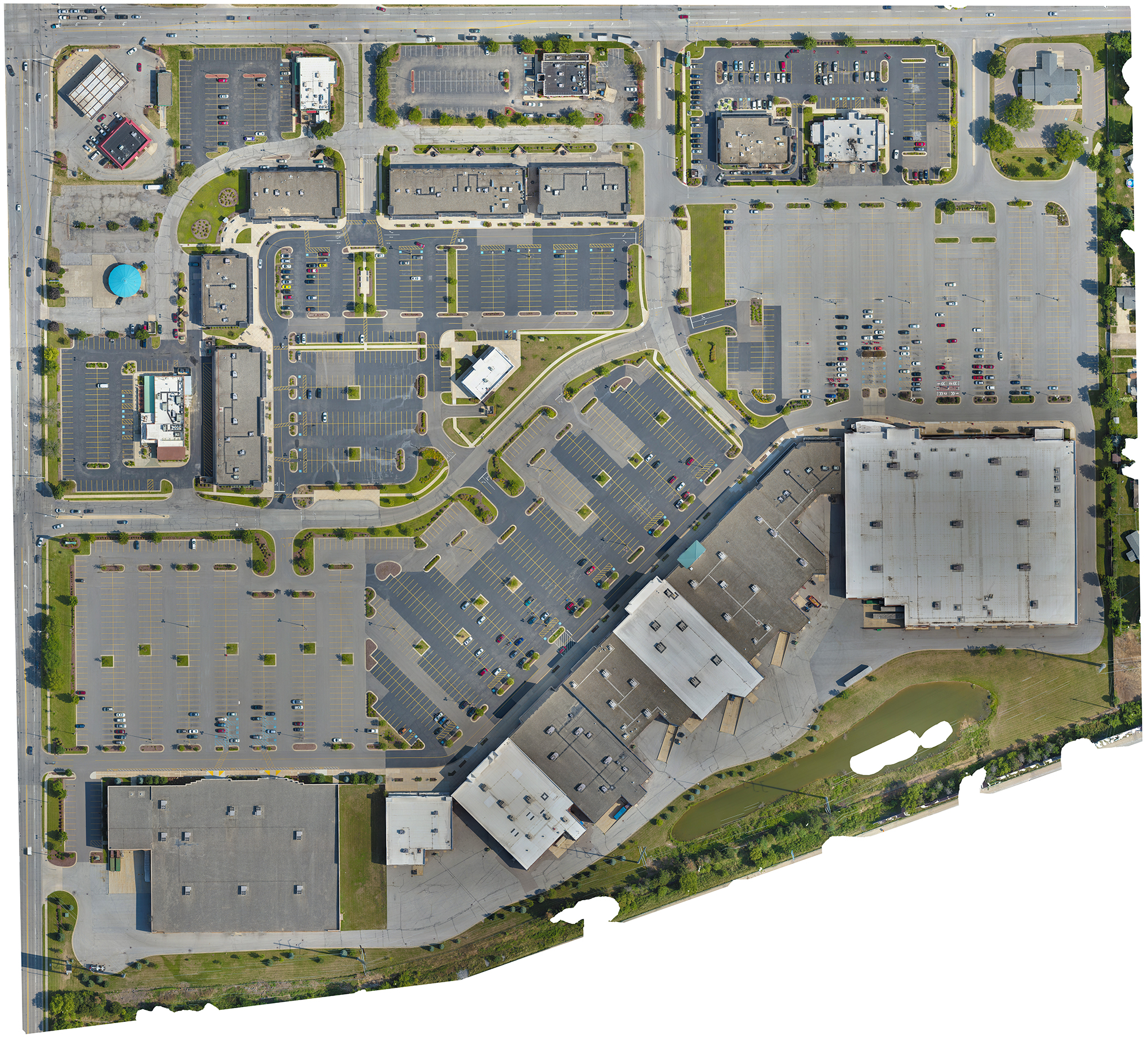
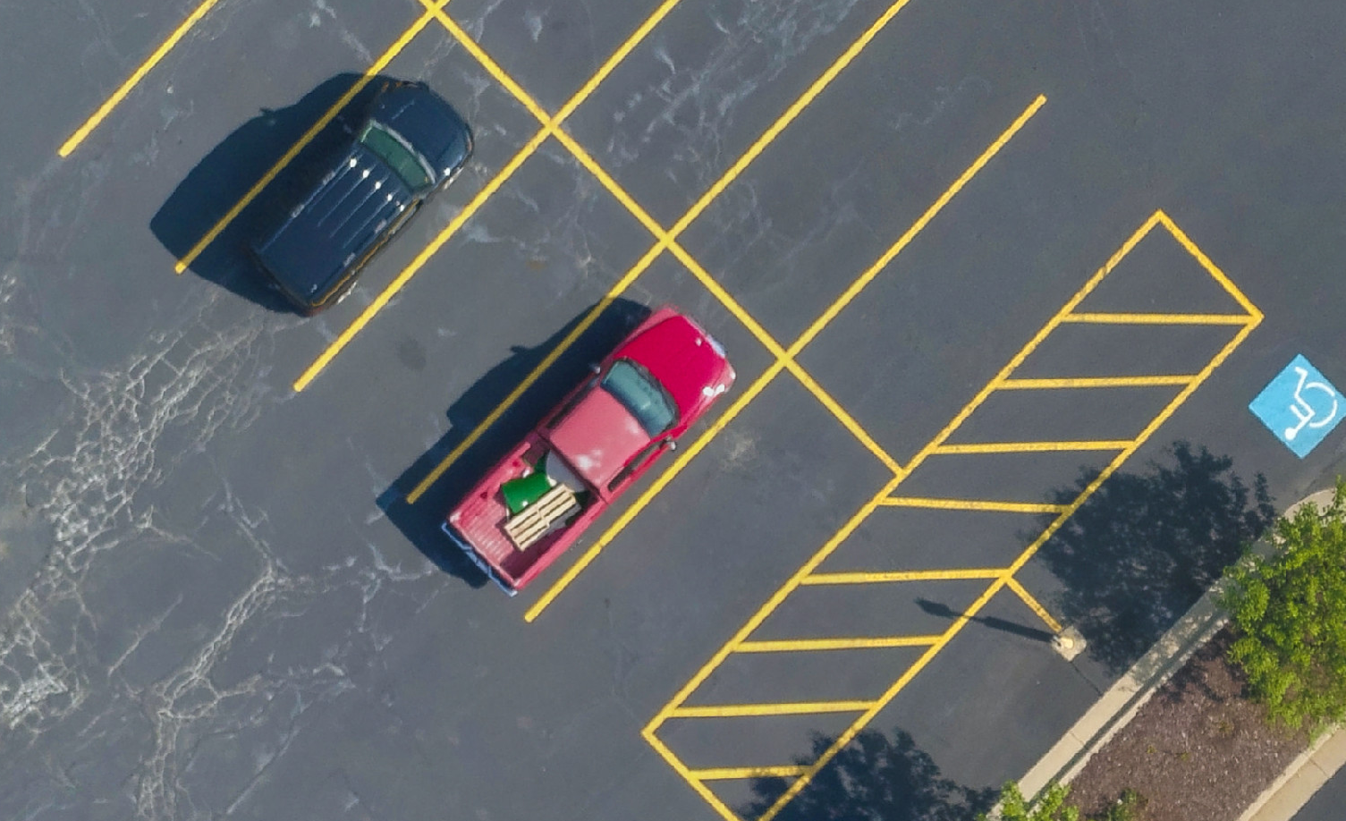
Below is a close up crop from the image above to show detail... Can you find the Red truck above ?
Due to the high powered camera's and sensor's on the drone we are now able to create accurate elevation models of terrain and structures.
"There is no comparison.You can't get this kind of resolution commercially even if you paid for LIDAR."
-Says David Givens, Senier Staff Archaeologist at Preservation Virginia - "LIDAR lacks the resolution...Traditional aerial photography is also insufficient. But drone-based imaging, where hundreds of digital photographs are blended together to reveal extraordinary detail, improves on those techniques by orders of magnitude." Read the full write up in the Smithsonian Air & Space publication here
Digital Surface Model


Side by Side comparisons of an orthophoto and Digital Surface Model of a construction site.


