Construction
There is no longer any question that drones save time and reduce costs compared with traditional ground and aerial techniques: drones can provide accurate site surveys in a fraction of the time, as well as fast aerial data capture, photos, videos, and other useful information. The simple truth is small drones can fly lower and closer than traditional aircraft and can capture more detailed information. As a result, aerial surveys of projects that were too small for manned aircraft operations are now commonplace.
Whether you are simply looking for Photo’s and Video to show off your work, keep stakeholders up to date, or improve efficiencies in job site workflow, see what we can do for you!
Service we provide:
Progress Photos/Video
Video/Photo’s of Finished Projects
Georeferenced Orthophotography at less than .5in/pixel (2D Map).
Digital Terrain/Elevation Models
Volumetric Measurements
3D Mapping/Modeling


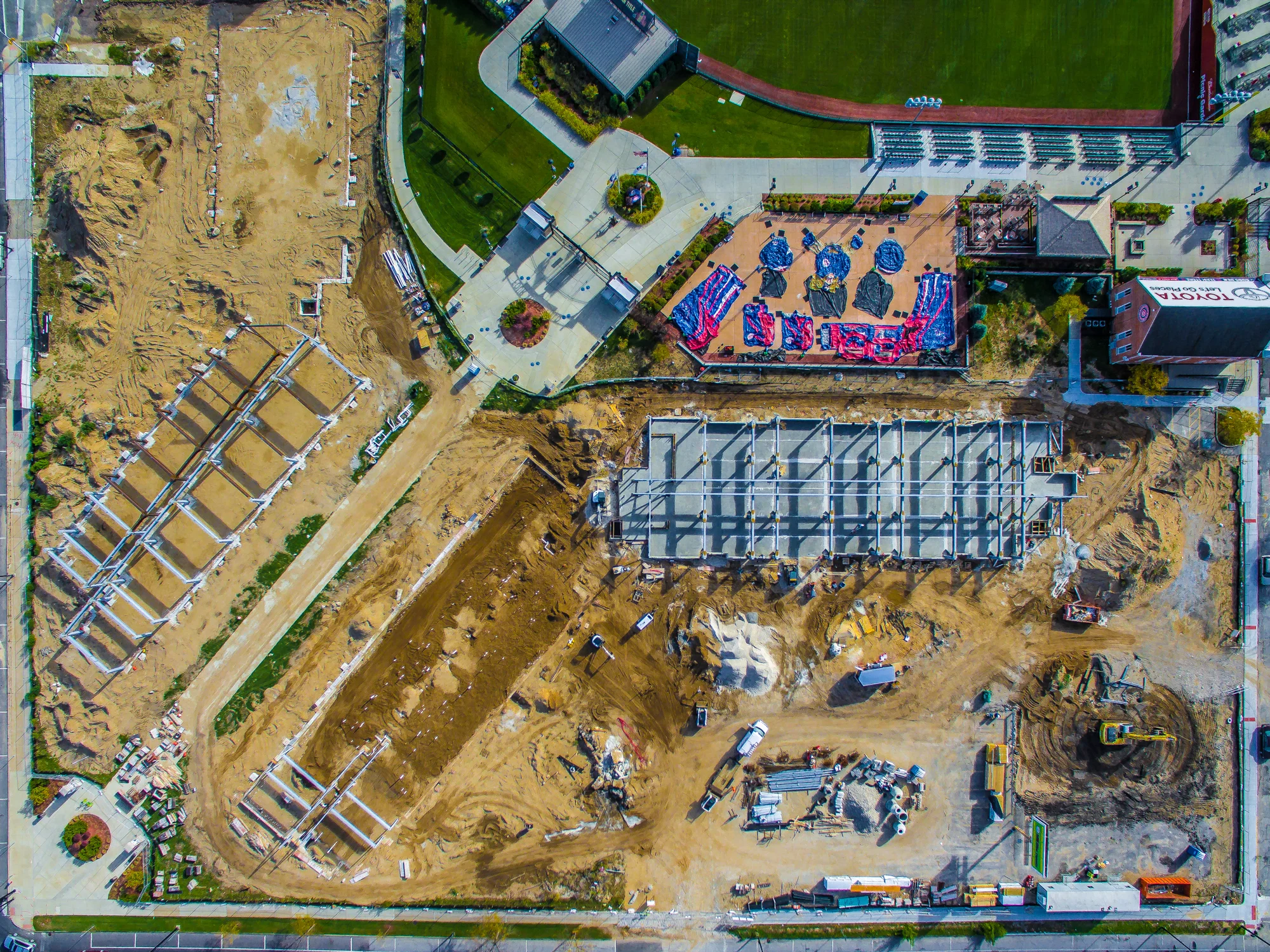
Aerial Progression Photo’s Example: