


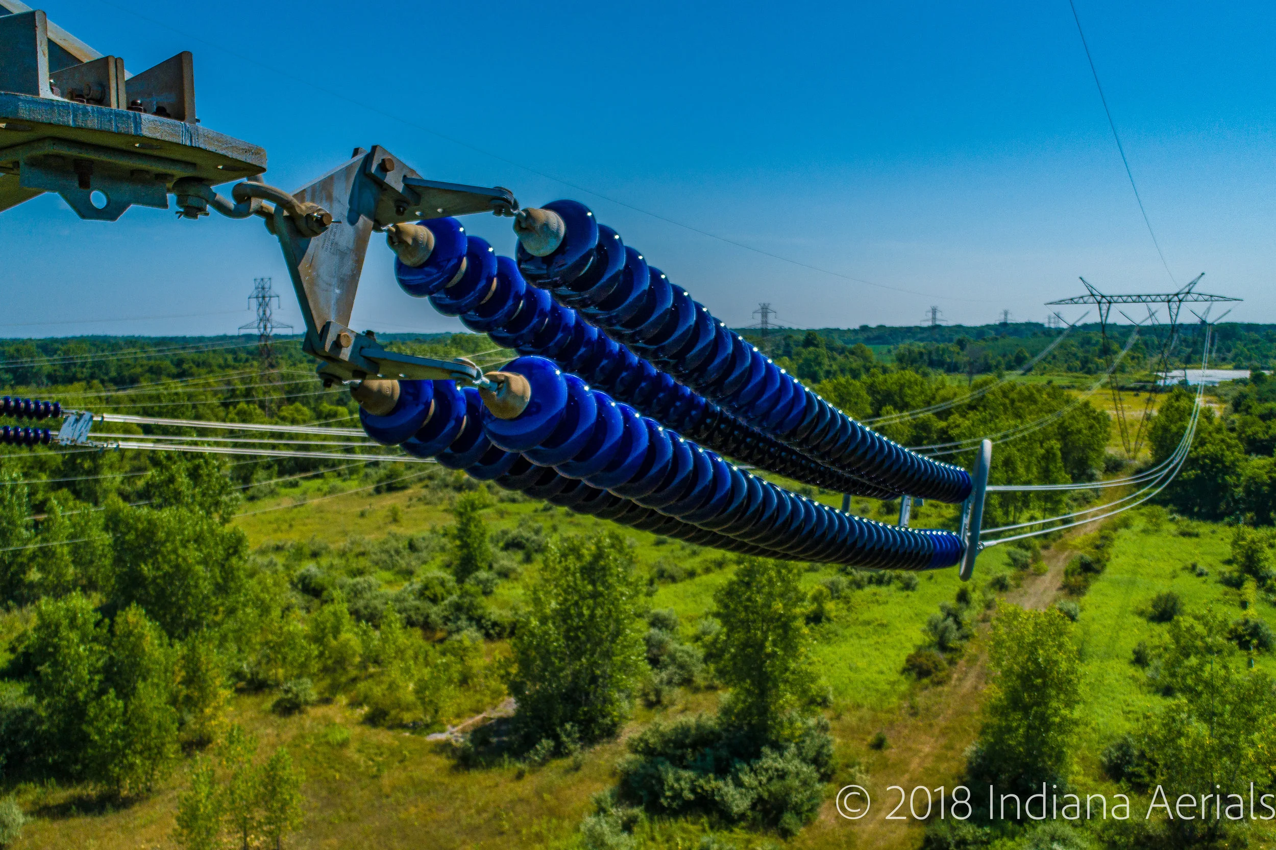
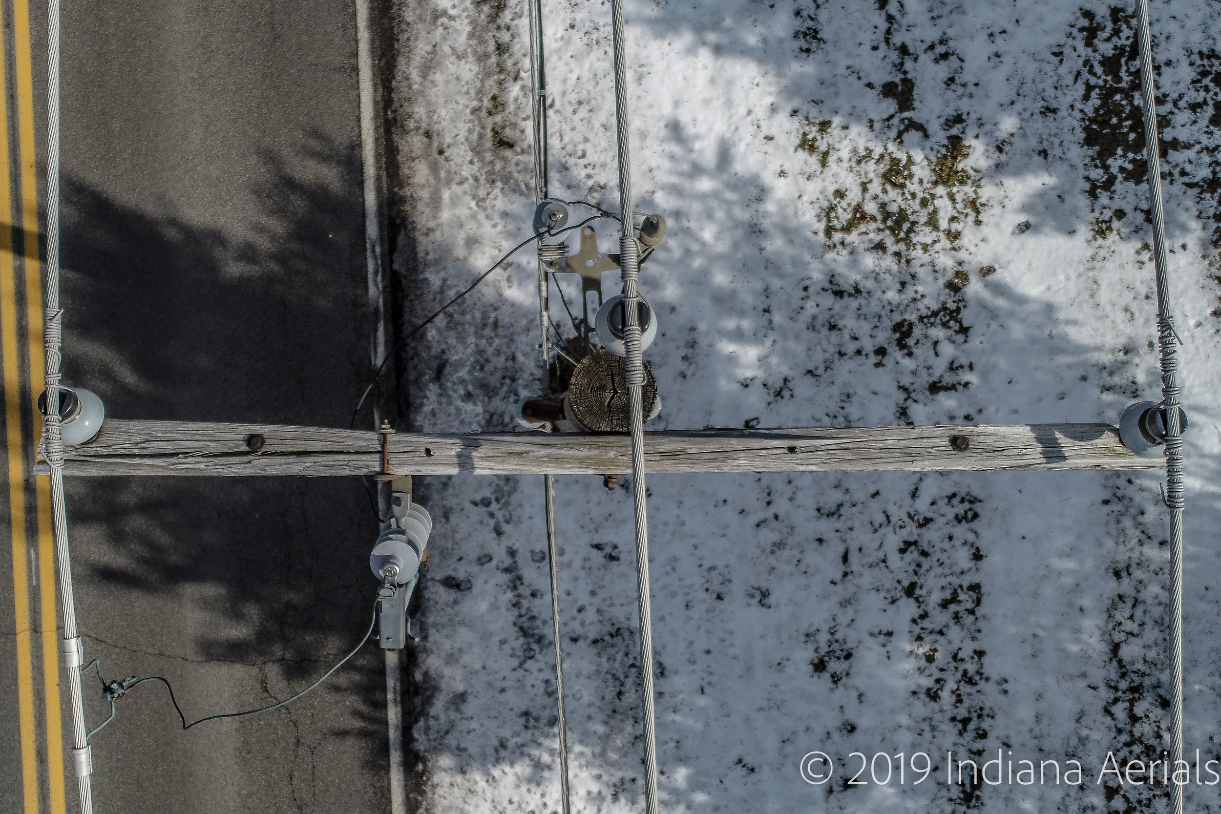
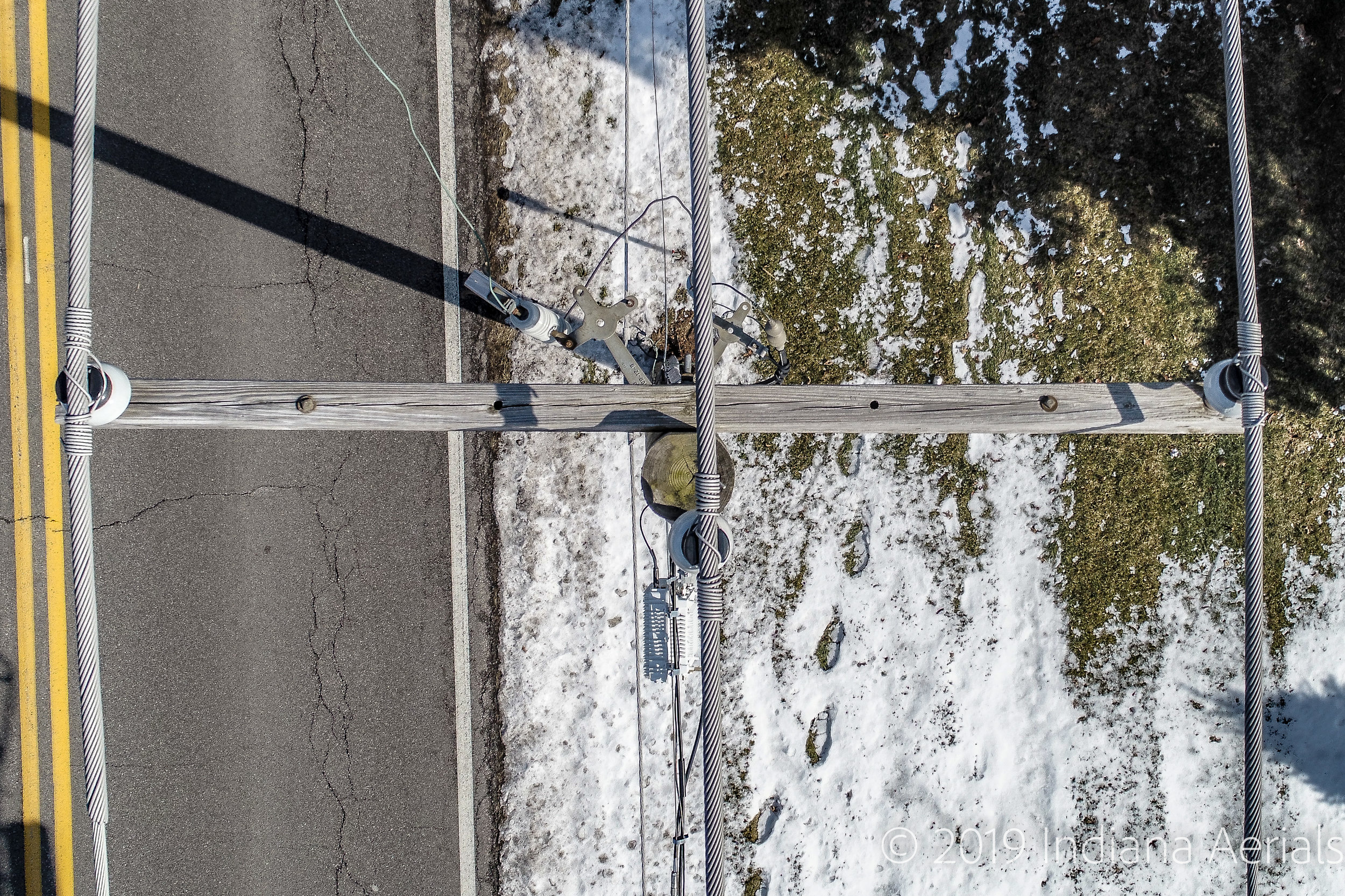
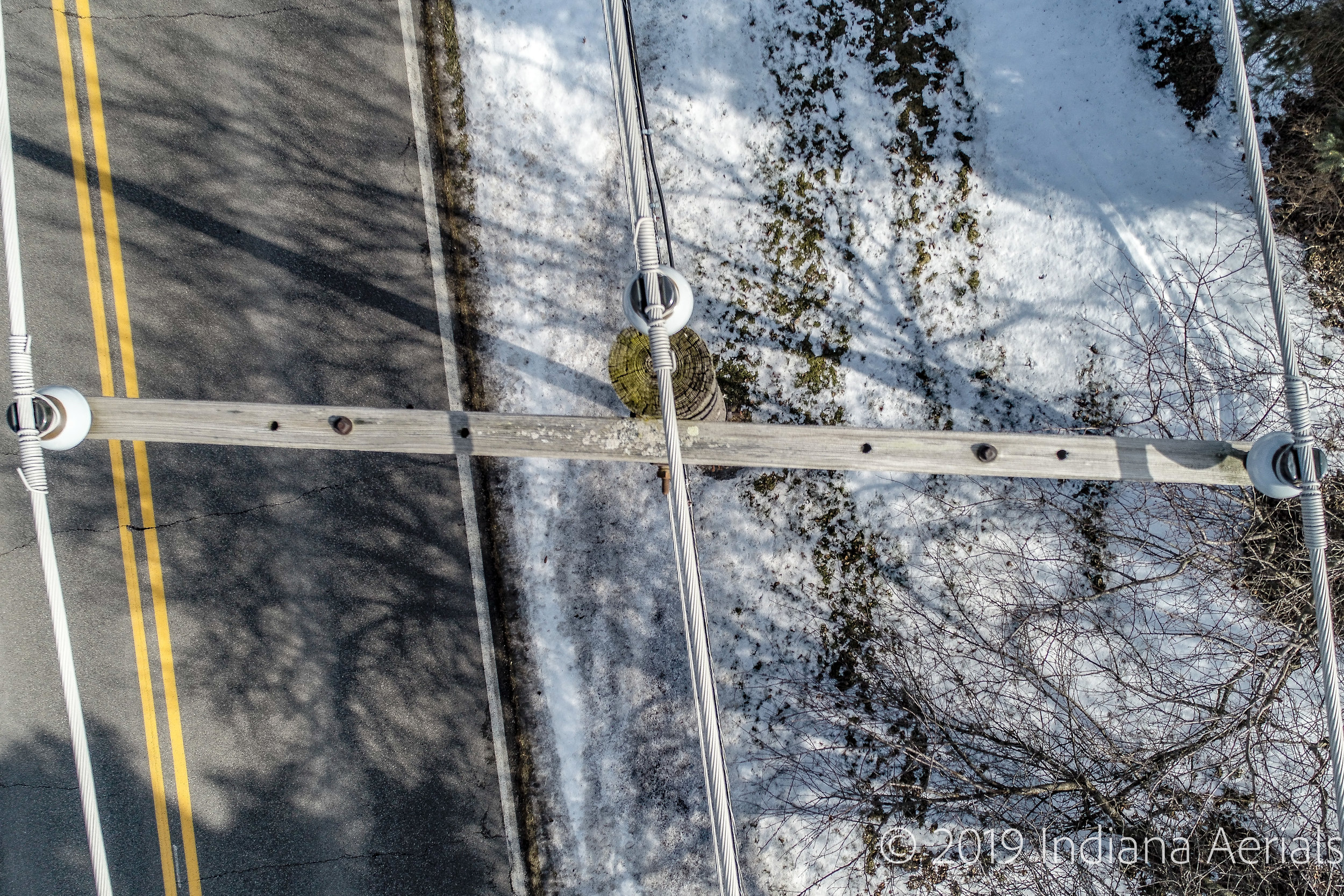
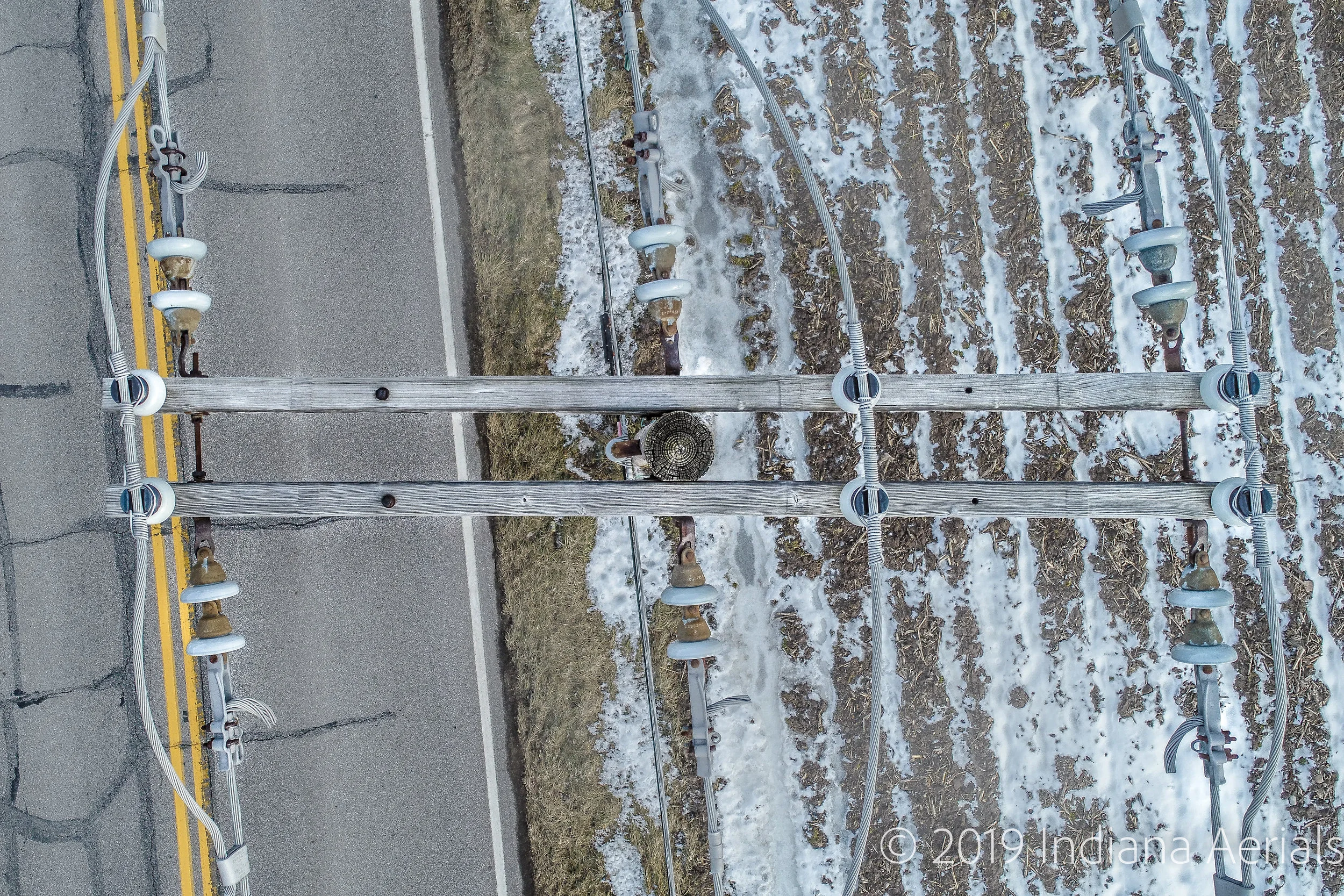
Distribution and Transmission Pole Inspections
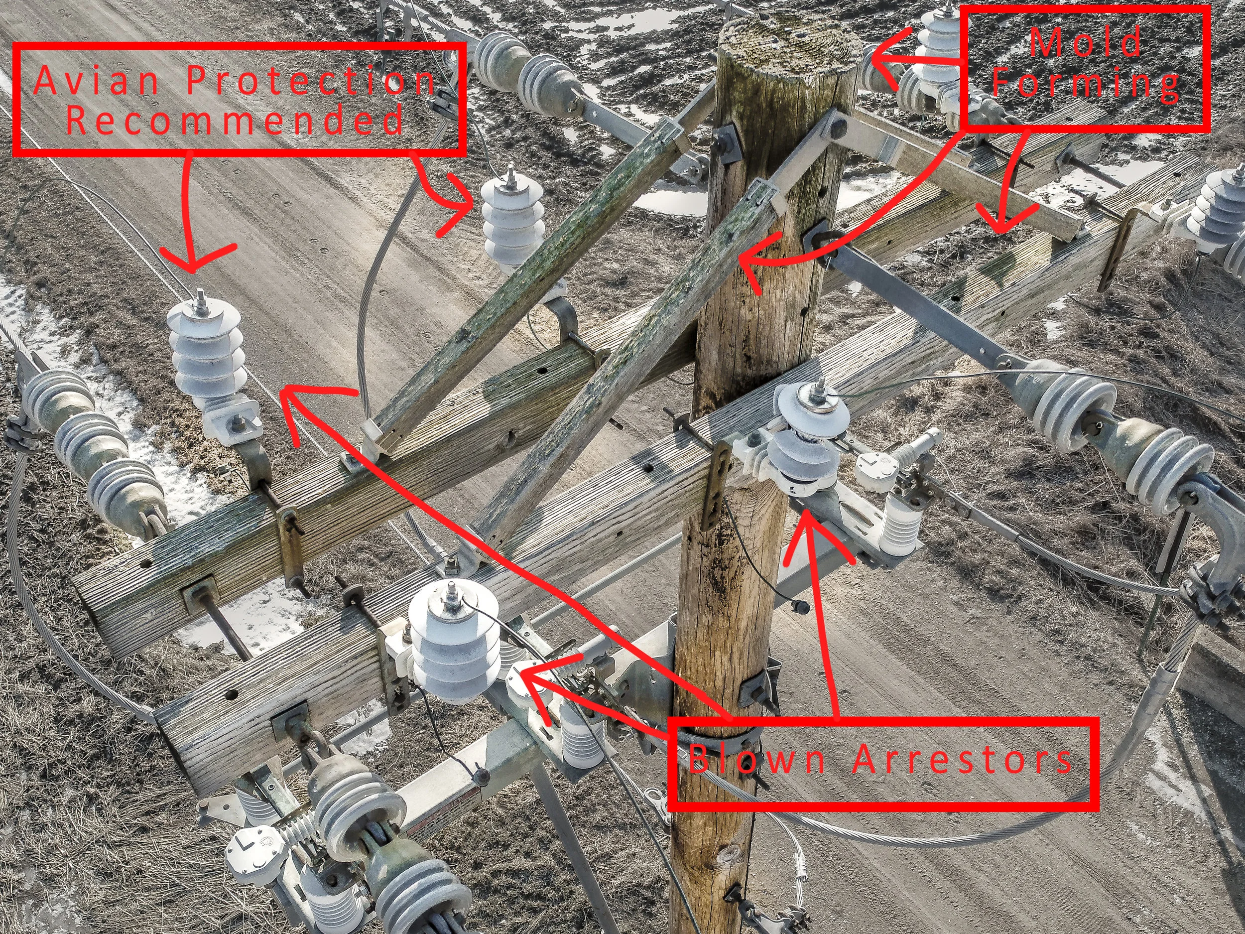
sUAS (Drones) have a significant and efficient use in preventative maintenance. Quickly and easily able to see defects not visible from the ground. We provide a turnkey solution from planning and flight to decision ready data. With the ability to fly many miles per day, our drones are able to visually inspect all aspects of aerial equipment quickly and easily. An inspection report is guaranteed within 12 days of data capture, regardless of size. All assets are
The Inspection Report summarizes repair actions and criticality for system reliability and safety. You will know what's wrong with each structure, which structure IDs are the most critical, and data to best optimize your maintenance procedure. VOLT's development experts integrate the data into your existing software platforms, so you don't have to buy, or learn any new software... keeping the workflow simple and effective.


Aerial Substation Thermography
Often conducted at night, Aerial Thermography will typically include a Daytime Assessment. During the daytime assessment we will review safety and scope, record obstructions, and determine flight paths. An Aerial Visual Inspection (High-Res RGB Visual Sensor) will also be done. This Imagery and Data will then be used in conjunction with the aerial thermal images to identify advisories.
Benefits of Aerial Thermography Include:
Automatic Focus
Excludes Sky, Auto Span Often less than 25 degrees F
Larger Field of View - Method of Scan vs. Point & Shoot
Unlimited Positioning - High Accuracy
Embedded GPS Coordinates


Aerial Solar Thermography
Aerial thermal imaging detects PV system anomalies from the inverter (large) Level down to the string, module (Panel), and cell levels. When areas in the PV system are defective, the energy from the sun is not converted into electrical energy, resulting in an increase in temperature. Additionaly, changes in the surface properties of a module manifest as a difference in emissivity, which is detected with a thermal camera. The results of aerial thermal imaging inform asset management, and save 2-5 times the Labor cost in the field.
In the image below, this defective panel was seen instantly from an altitude of ~300ft.

Communications Tower Inspections
Drones present a fantastic solution to the dangers of unnecessary climbing of towers. On top of decreasing risk of injury some analyst’s say Drones are reducing Cell Tower Inspection Costs by up to 50%! Watch the video below which shows a basic site assessment. Using the latest photogrammetry software with high resolution aerial camera’s we create a detailed model/map of the site and tower for structure mapping and asset location.
Chimney Inspections
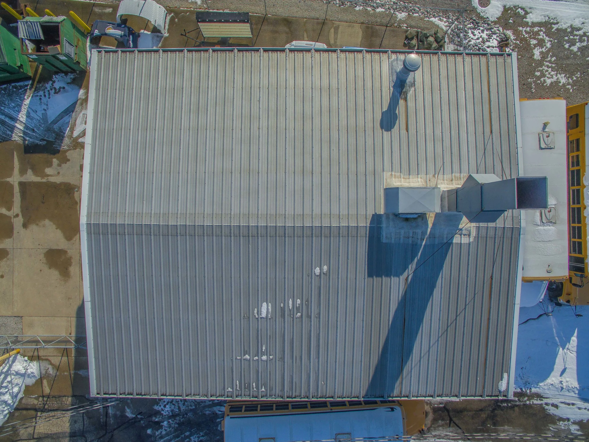
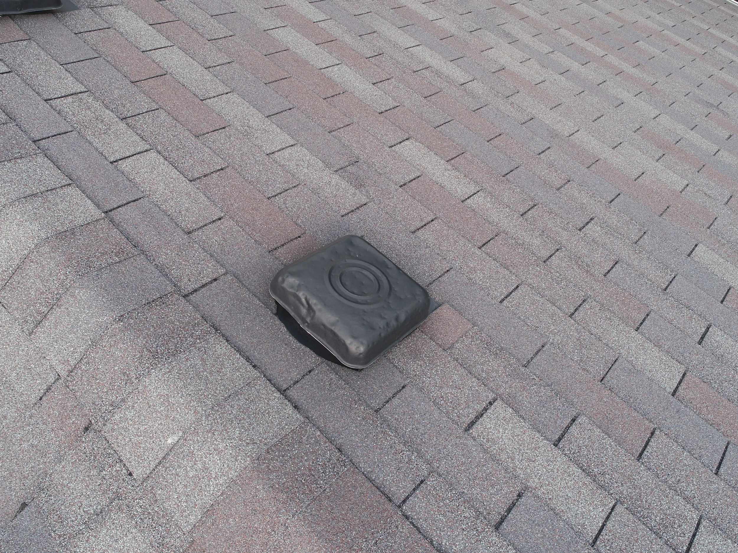
Roof Inspections
When a physical climb is not necessary, or possible, that’s where we come in. We easily place a 20 Megapixel camera within 18 inches of the roof surface. Great for Insurance Claim documentation, Job Bidding, Real Estate Inspections, etc.


Have a Tall Structure you need inspected?
Let us Safely get the data you need to accurately assess the integrity of your tall structure. Steeple's, Large Chimney's, etc..